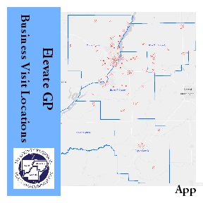
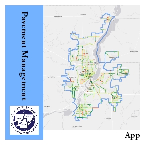
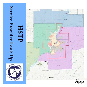
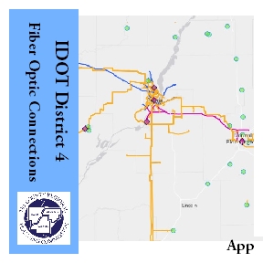
Maps & Apps Gallery
This page contains information about TCRPC's activity with Geographic Information Systems (GIS)
What is GIS?
A Geographic Information System (GIS) is a computer software system that provides the ability to capture, manage, and display multiple layers of data all in one map! GIS software plays an important part in connecting and growing our communities by taking complicated data and presenting it in a way that is easily understood and shared. TCRPC provides GIS services for staff, partnering organizations, and communities with various GIS related projects and requests.
Do you need GIS assistance?
We have specialists for that!
Contact our GIS Specialists today at (309) 673-9330 or gis@tricountyrpc.org
Some of the local entities that have utilized TCRPC GIS services include
City of Chillicothe – City of East Peoria – City of El Paso – City of Elmwood – City of Minonk – City of Pekin – City of Peoria – City of West Peoria – CityLink – Greater Peoria Economic Development Council – Hollis Park District – Limestone Township – Logan County – Morton Economic Development Council – Peoria Park District – Tazewell County – Village of Bartonville – Village of Creve Coeur – Village of Delavan – Village of Dunlap – Village of Hanna City – Village of Mackinaw – Village of Morton – Village of North Pekin – Village of Peoria Heights – Village of Tremont – Village of Washburn – Woodford County
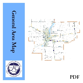
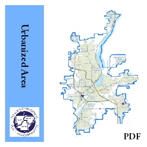
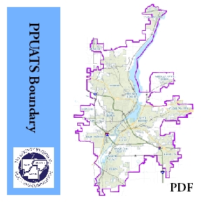
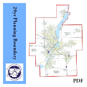
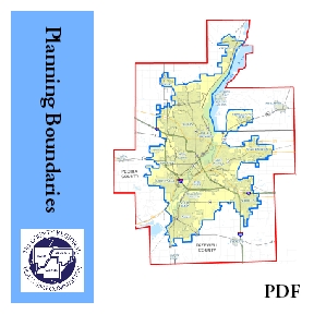
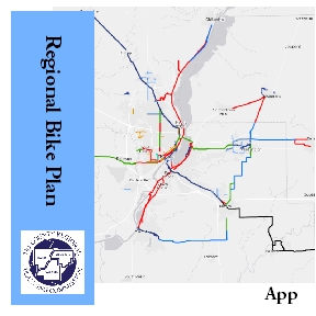
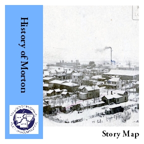
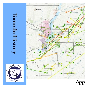
PDF & Web Map App Gallery
Internet Mapping Sites
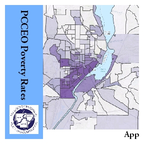
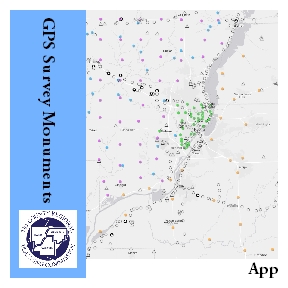
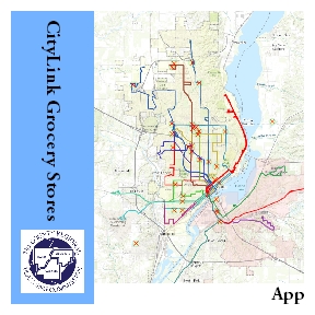
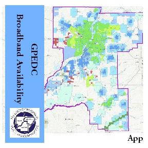
Click any of the images below to visit its respective GIS mapping site.
